
Our Services
Below are services we provide for both residential, commercial or residential customers.
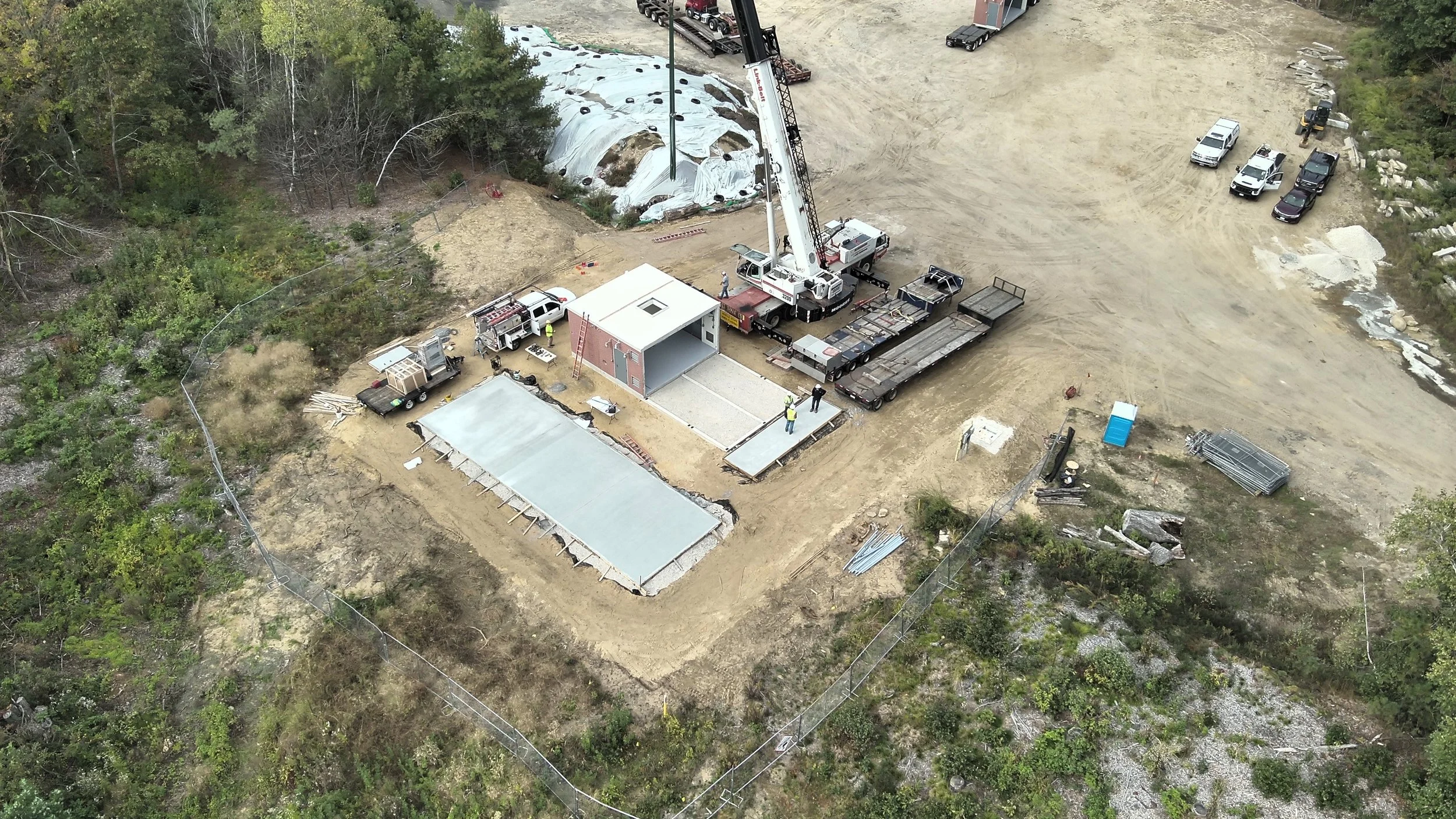
Construction Progression
Some of our commercial customers want documentation of a construction project or their infrastructure in various stages of completion.
Video of recent 3D model
Aerial 3D Mapping
We use various software techniques to map large or small areas and provide a 2 D or 3D map of the area.
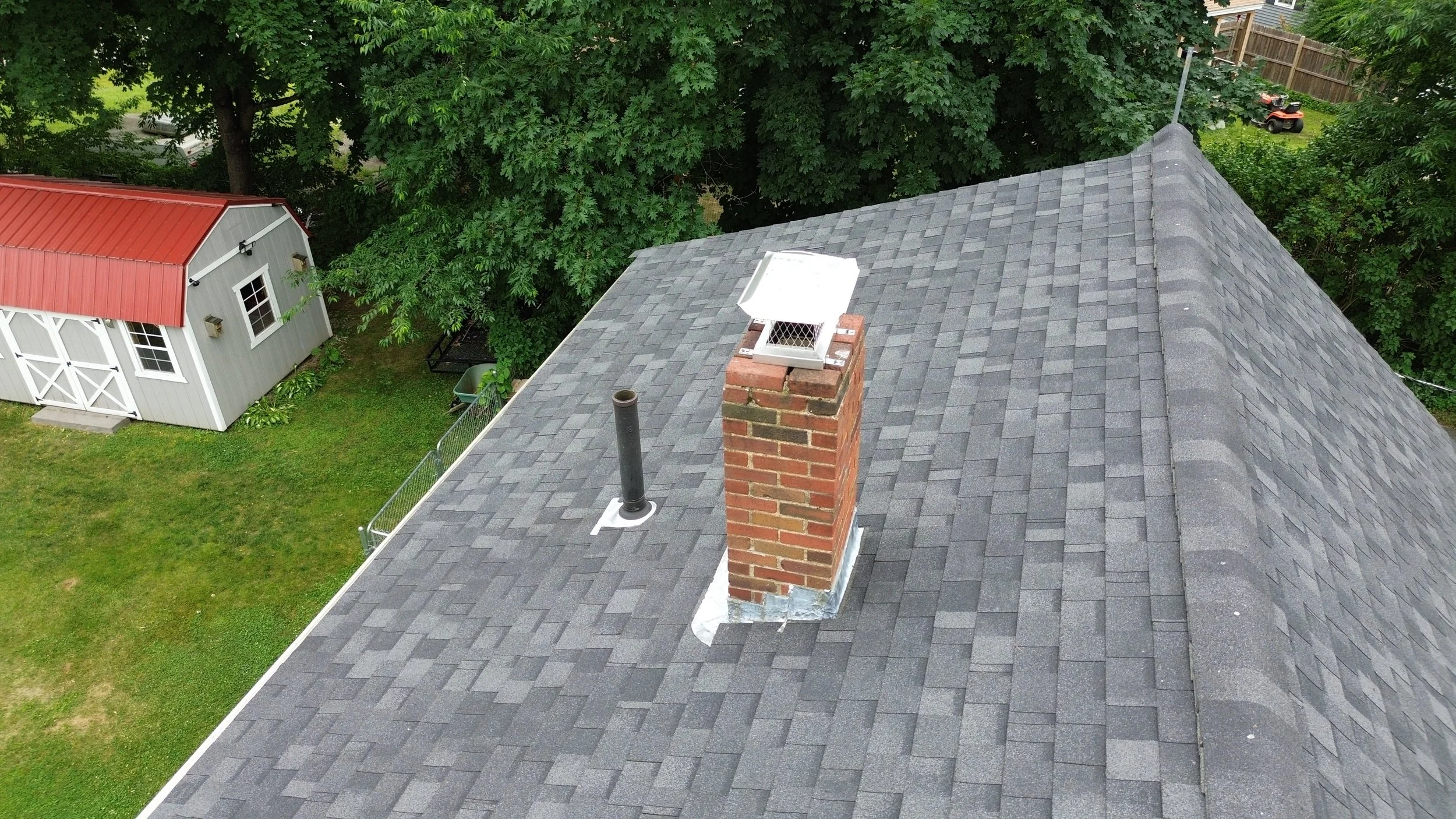
Aerial Imagery
Don’t like climbing ladders? A drone can provide visual verification that areas of your house you normally can’t see are “good to go” or in need of attention.
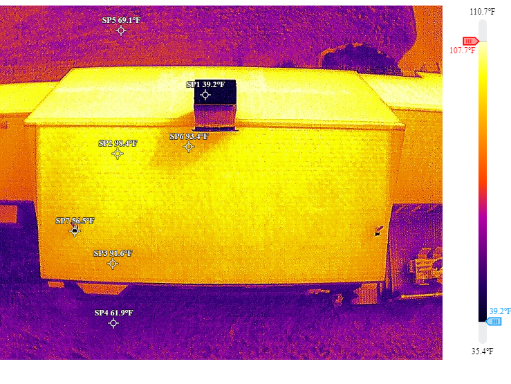
Thermal Study
Our pilot maintains Thermographer Level I Certification. Having a thermal camera helps when flying at night and aids search and rescue missions.
Contact us
Interested in working together? Please fill out some basic info and we will be in touch shortly.
We can’t wait to hear from you!