
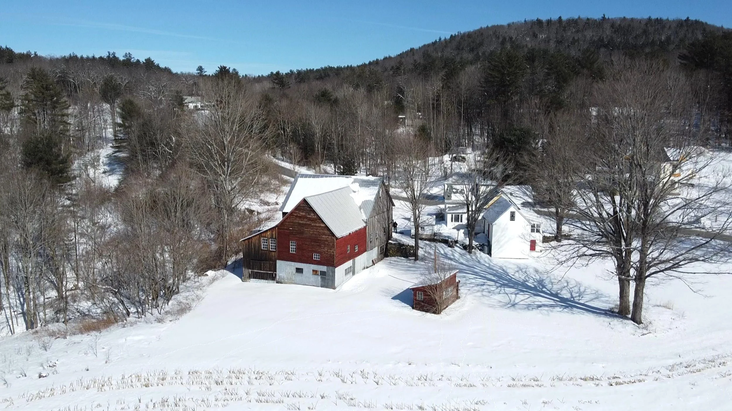
Capture aerial moments with expert photography and video
About
our company
We are a drone aerial imagery service provider for residential, commercial, and industrial customers located in the seacoast region of New Hampshire who provides high quality on-time deliverables of aerial photography/ videography.
A drone can provide a unique viewpoint of various areas or structures. We specialize in 2D and 3D mapping and have thermal imaging capabilities.
Our remote pilots are FAA Part 107 certified as Remote Pilots of Small Unmanned Aircraft Systems (SUAS or commonly known as Drones). We really like to fly.
Our Services
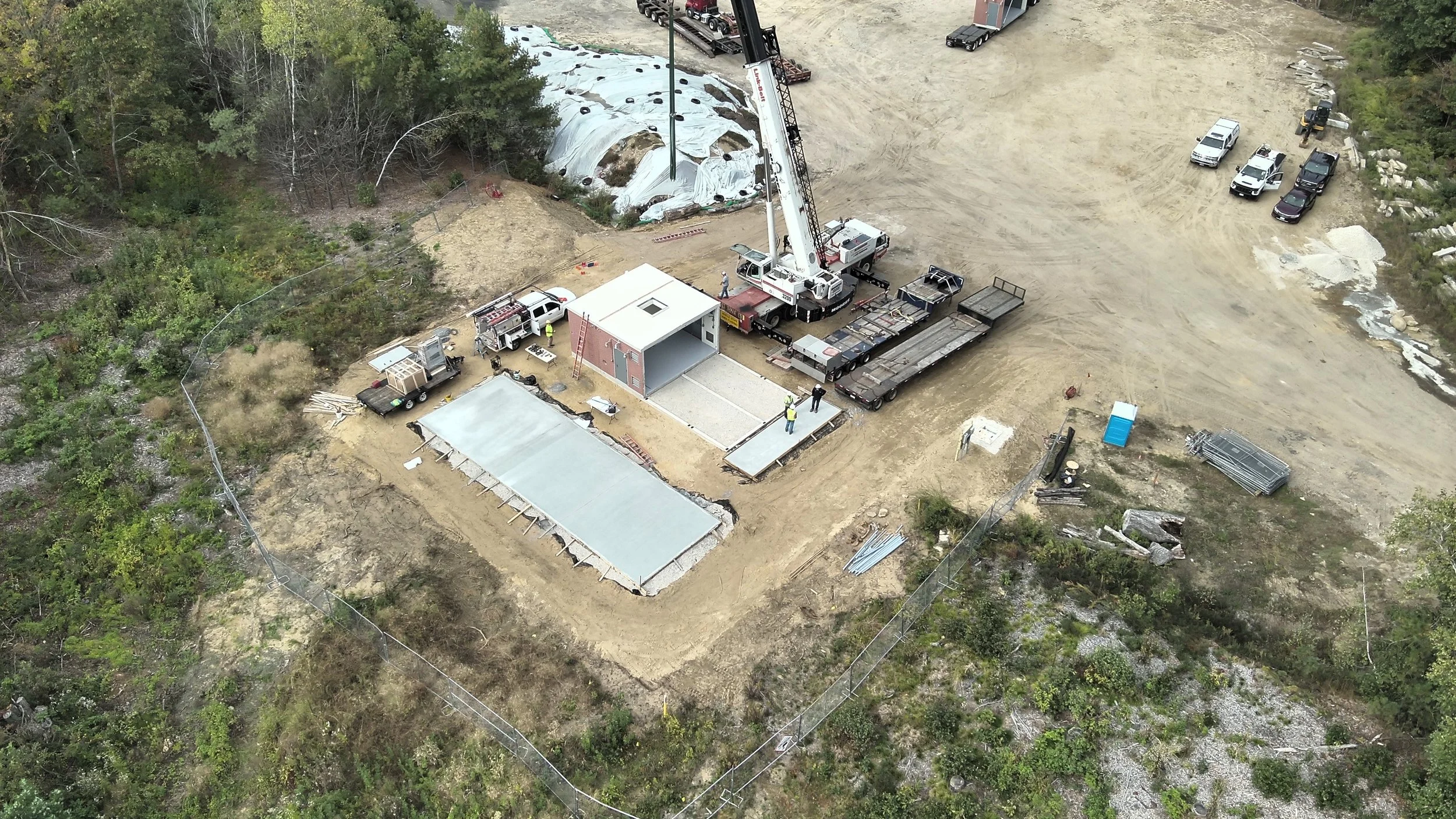
Construction Progression
Aerial Imagery
2D and 3D Area Mapping
3D map-Building and piping with building area measurement.
We use various software techniques to map large or small areas and provide 2-dimensional or 3-dimensional maps.
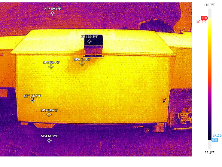
Thermal Study
Our pilot maintains Thermographer Level I Certification. A drone with a thermal camera also allows us to fly at night and aids search and rescue missions.
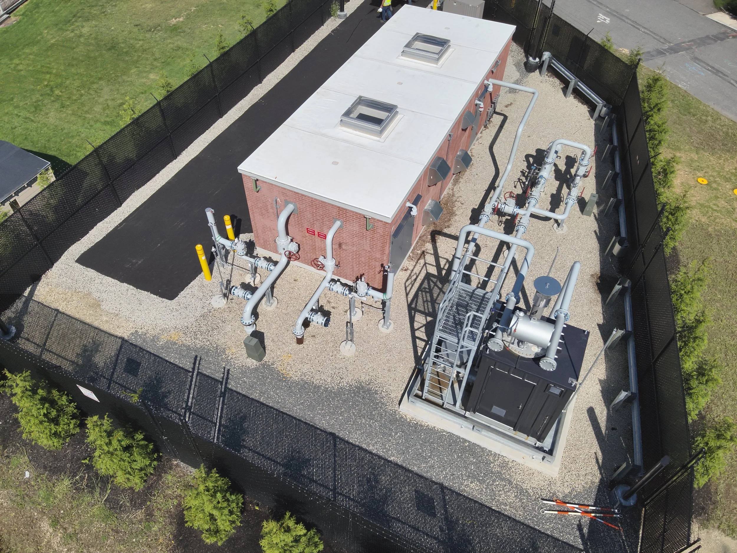
Some of our commercial customers want documentation of a construction project or their infrastructure in various stages of completion.
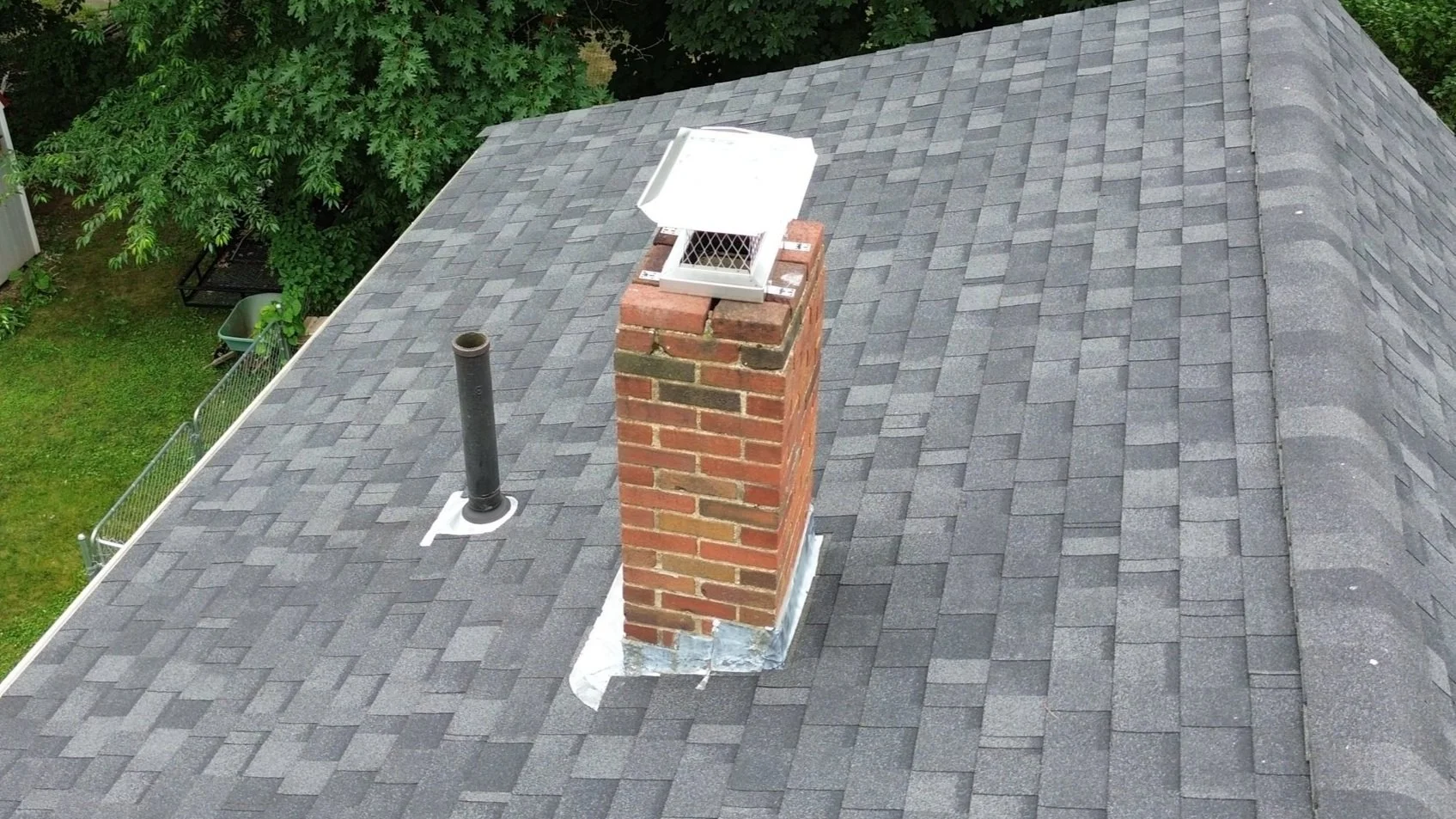
Don’t like climbing ladders or have areas in which it is unsafe to access? A drone can provide visual verification that areas of your house you normally can’t see are “good to go” or in need of attention.
Contact Us
Interested in working together? Please fill out some info and we will be in touch shortly. We can’t wait to hear from you!